Summit Activation #468 – #473

Den Sonnenhut musste ich nun wieder gegen eine wärmere Wintermütze eintauschen. Obwohl die Meteorologen schönes Wetter vorhersagten, war es meistens bedeckt und maximal 10°C „warm“.
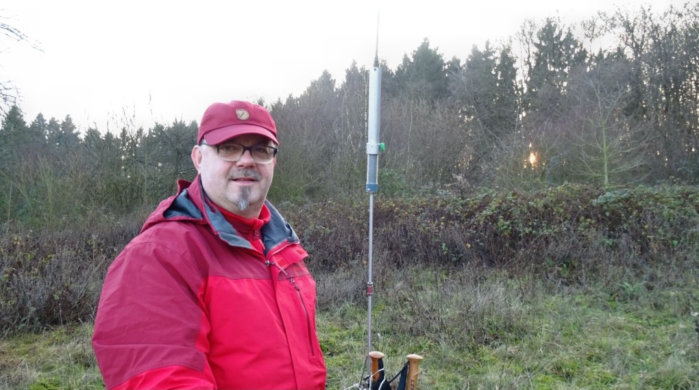
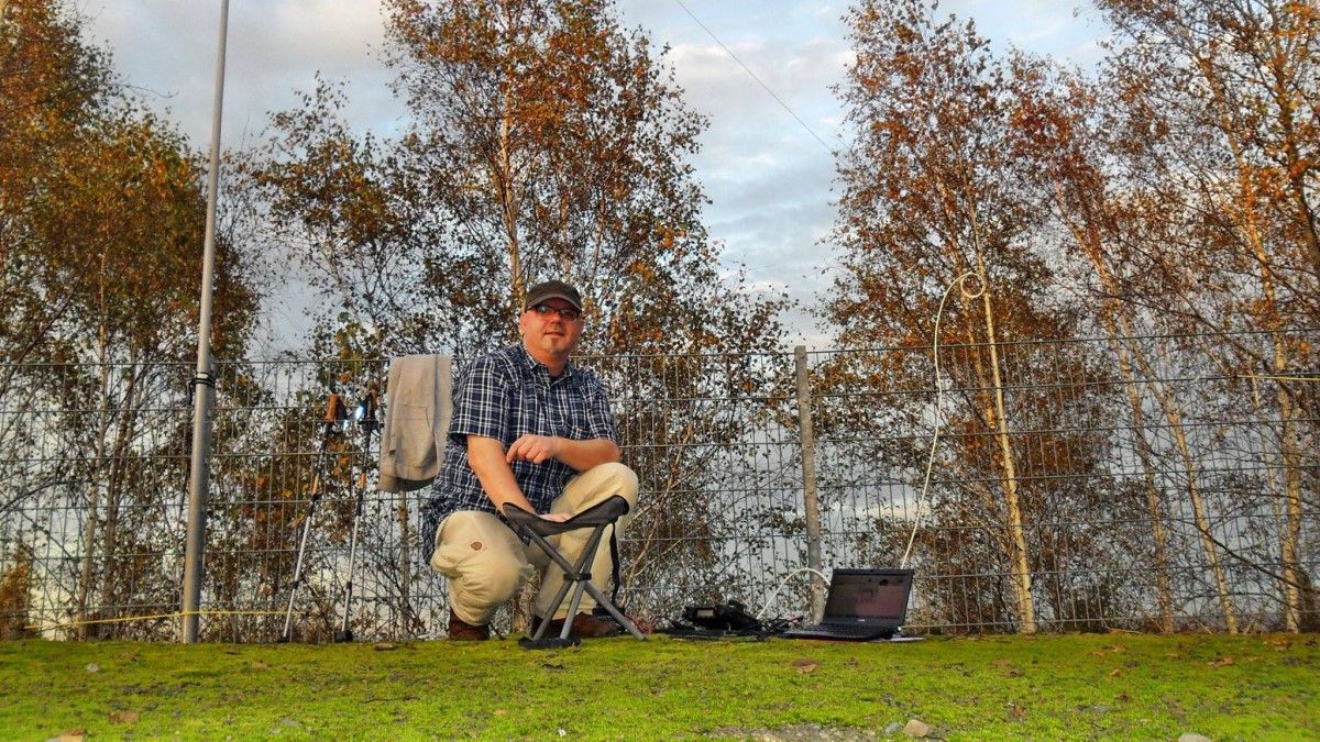
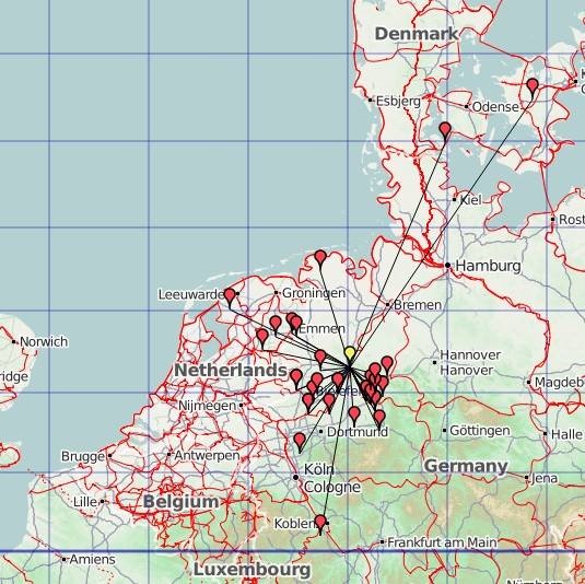
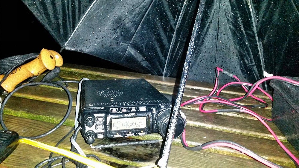
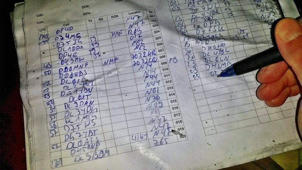
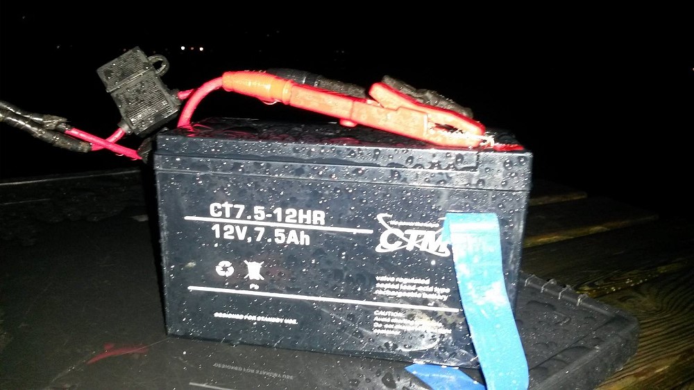
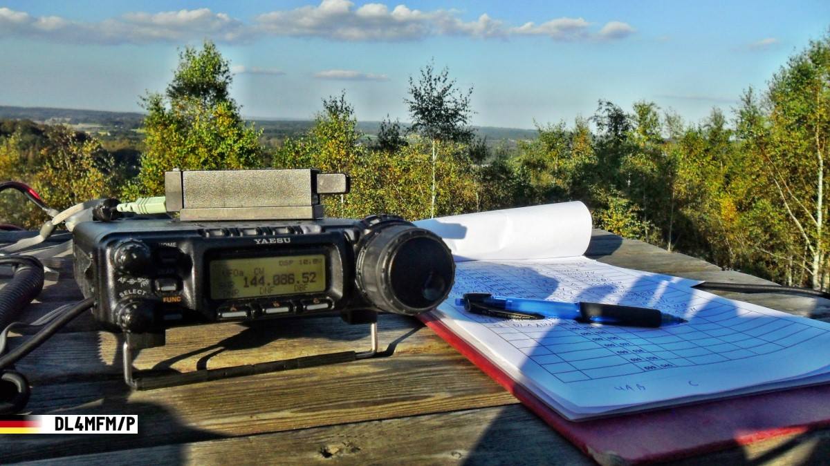
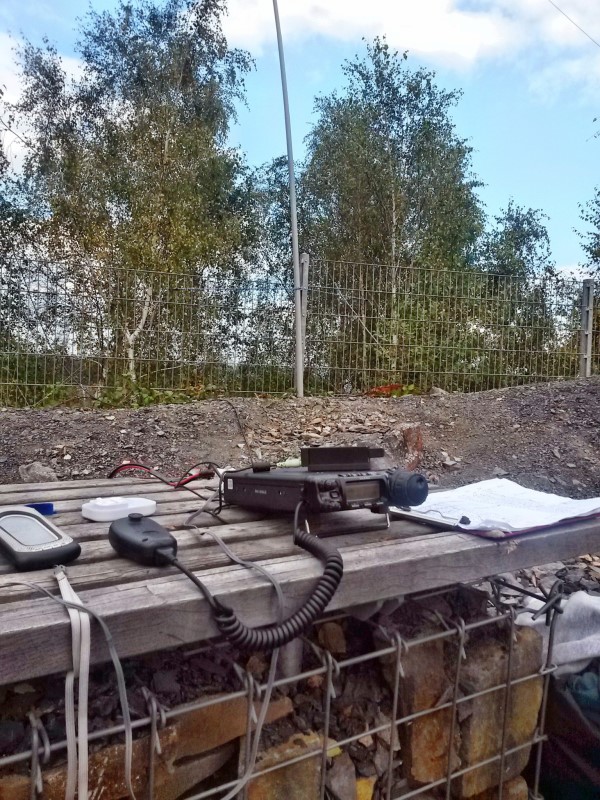
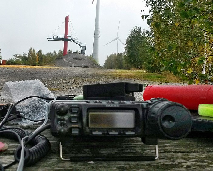
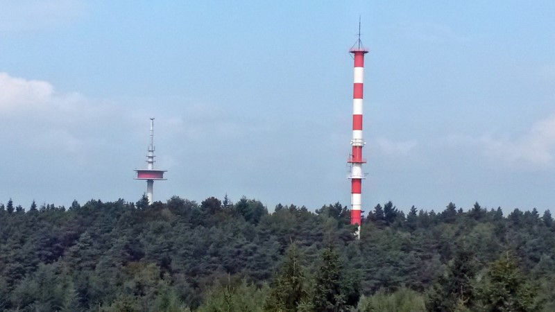
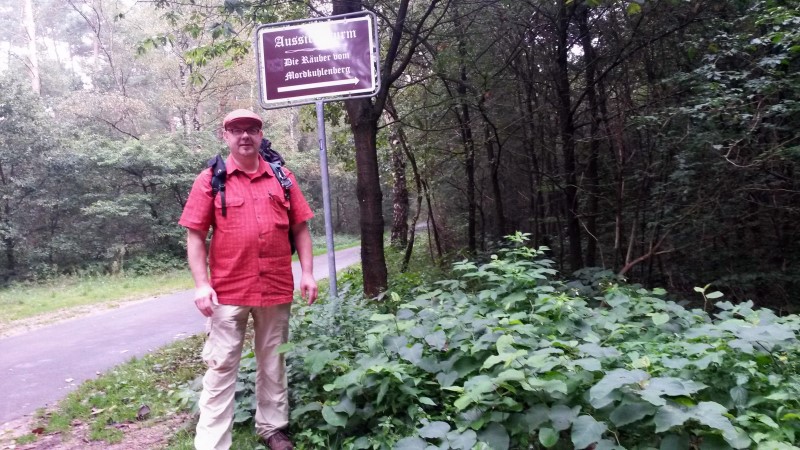
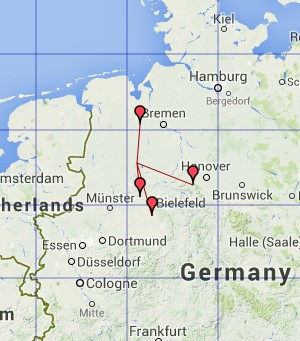
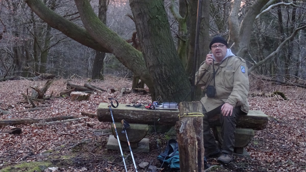
Für den UKW Kontest am Wochenende habe ich mir weitere fünf Berge am Wittekindsweg vorgenommen. Damit die „Speed-Aktivierung“ nun besser klappt, habe ich die komplette Funkstation (FT-817 ND, Alinco 25w PA, Stromversorgung, Verkabelung) auf eine kleine Holzplatte montiert. Es musste nur noch die Antenne angeschlossen und die Geräte eingeschaltet werden.
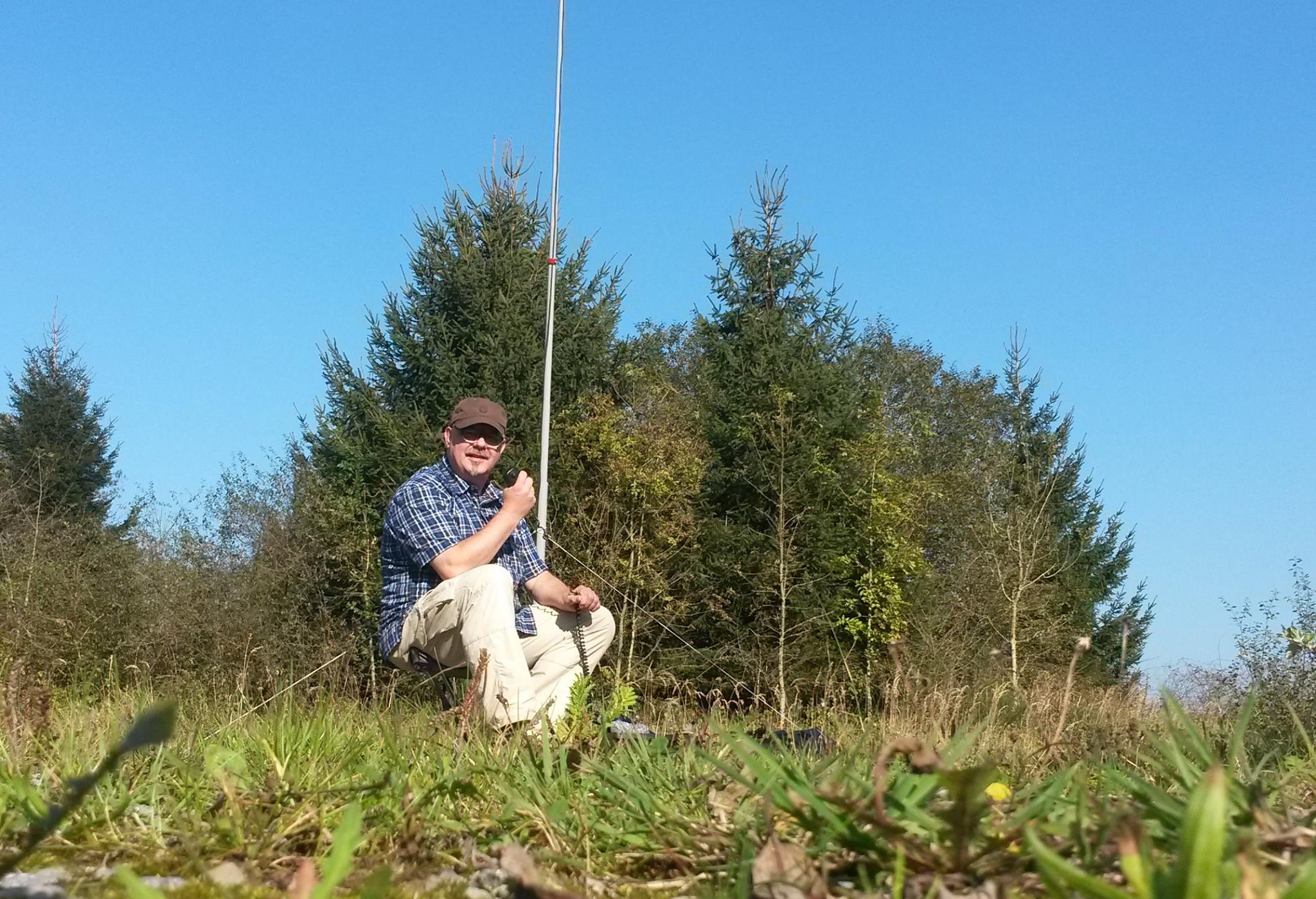
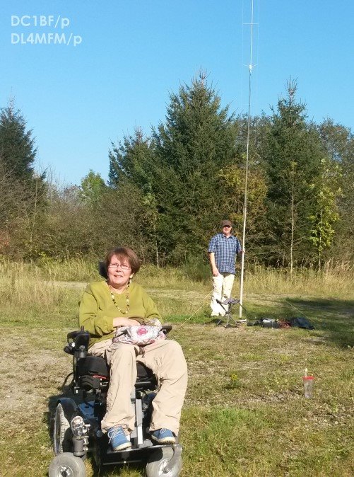
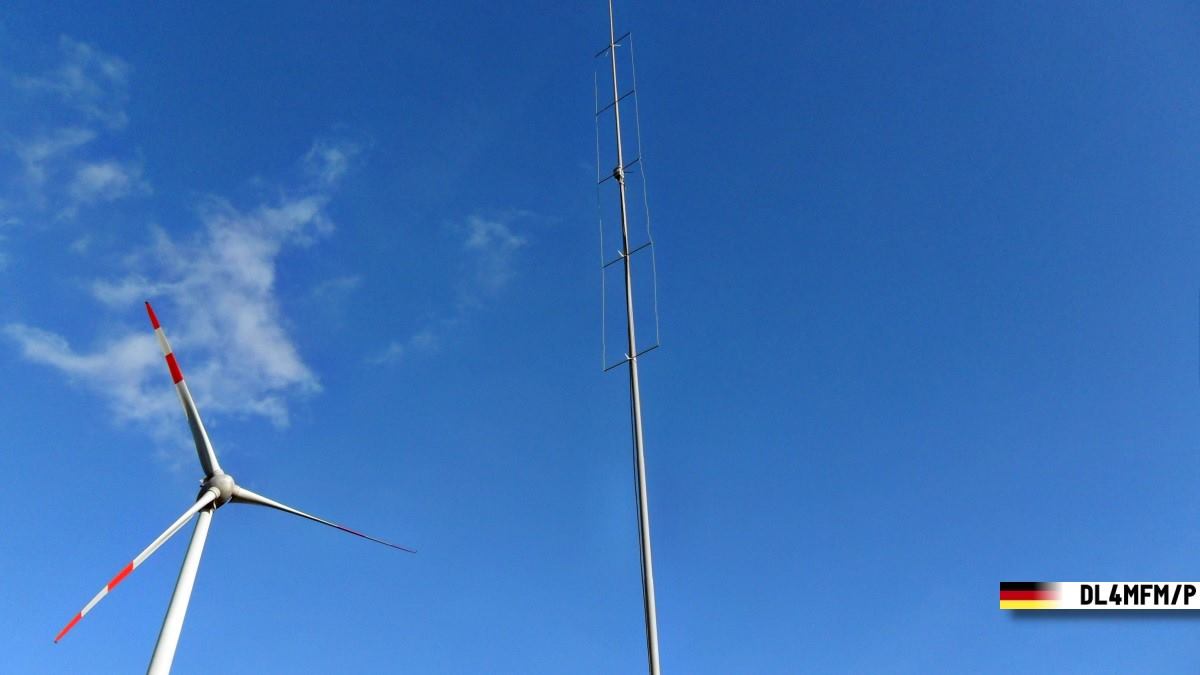
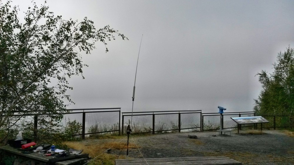
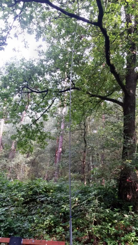
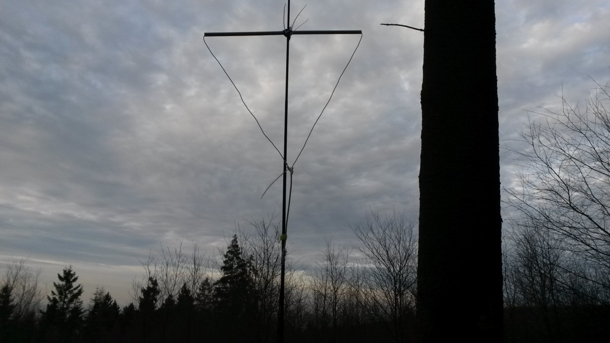
Damit auch die Antenne schnell aufzubauen ist, entschied ich mich für die Delta-Loop. Die Quadlong oder die Bi-Quad benötigen mehr Vorsicht und der Aufbau dauert wesentlich länger.
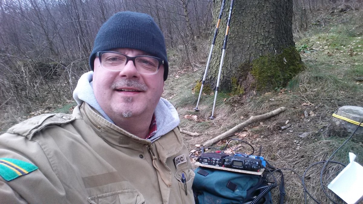
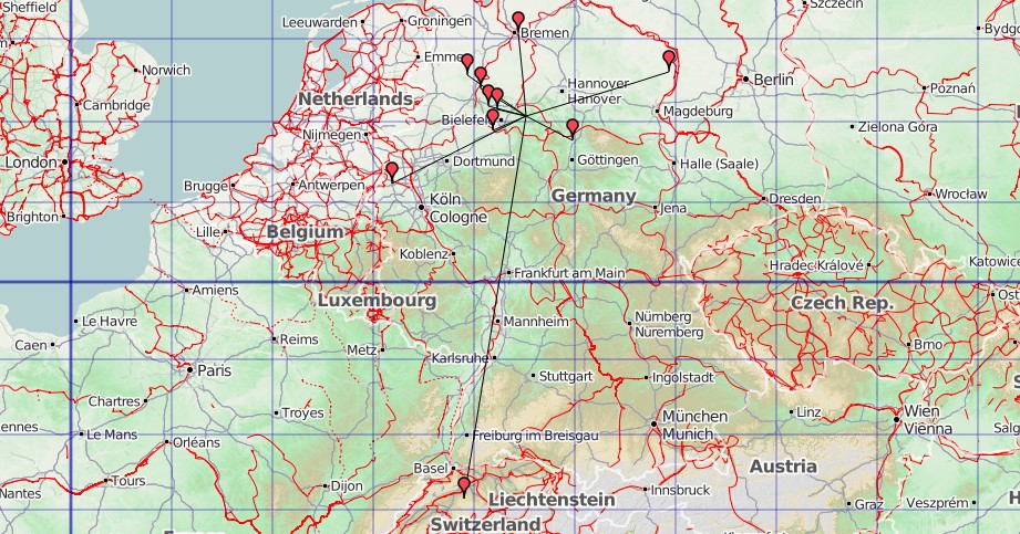
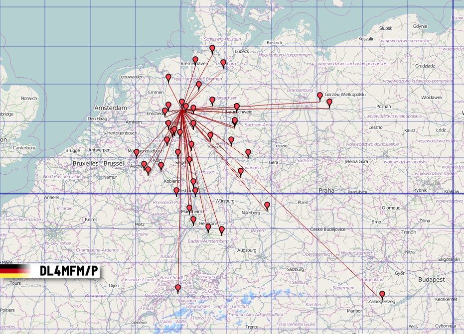
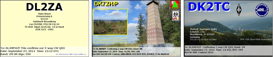
Vom Parkplatz „Kahle Wart“ ging es also los zu Berg #1, dem Blasheimer Berg. Der Aufbau der Station war in ein paar Minuten erledigt, die benötigten 4 QSO in 4 Minuten im Log. Also alles wieder einpacken und weiter. Nun sollte es ein paar Kilometer zum westlichsten Berg des Tages gehen. Auch dort, am Donoer Berg ging alles blitzschnell. Also weiter zum Glösinghauser Berg. Auch hier waren nach 5 Minuten die erforderlichen QSOs im Log.
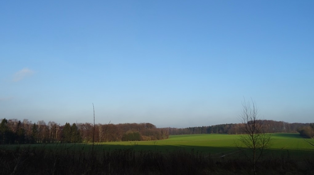
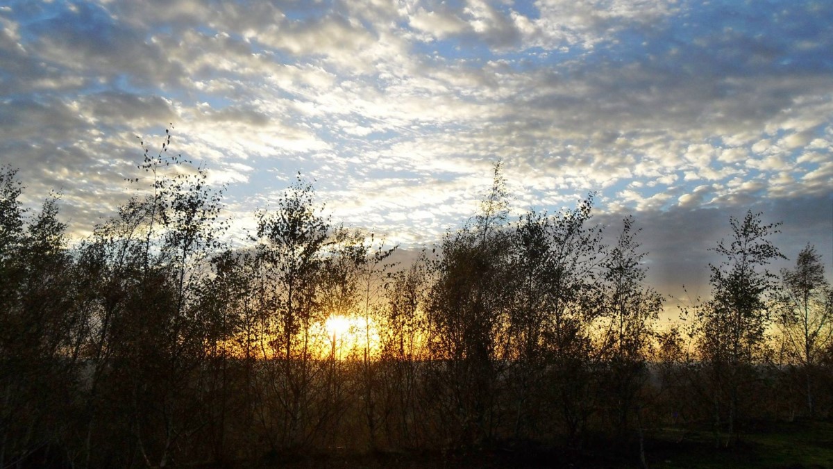
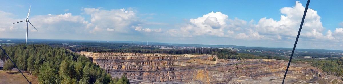
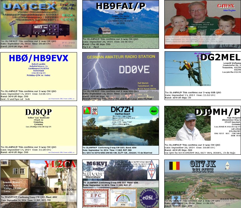
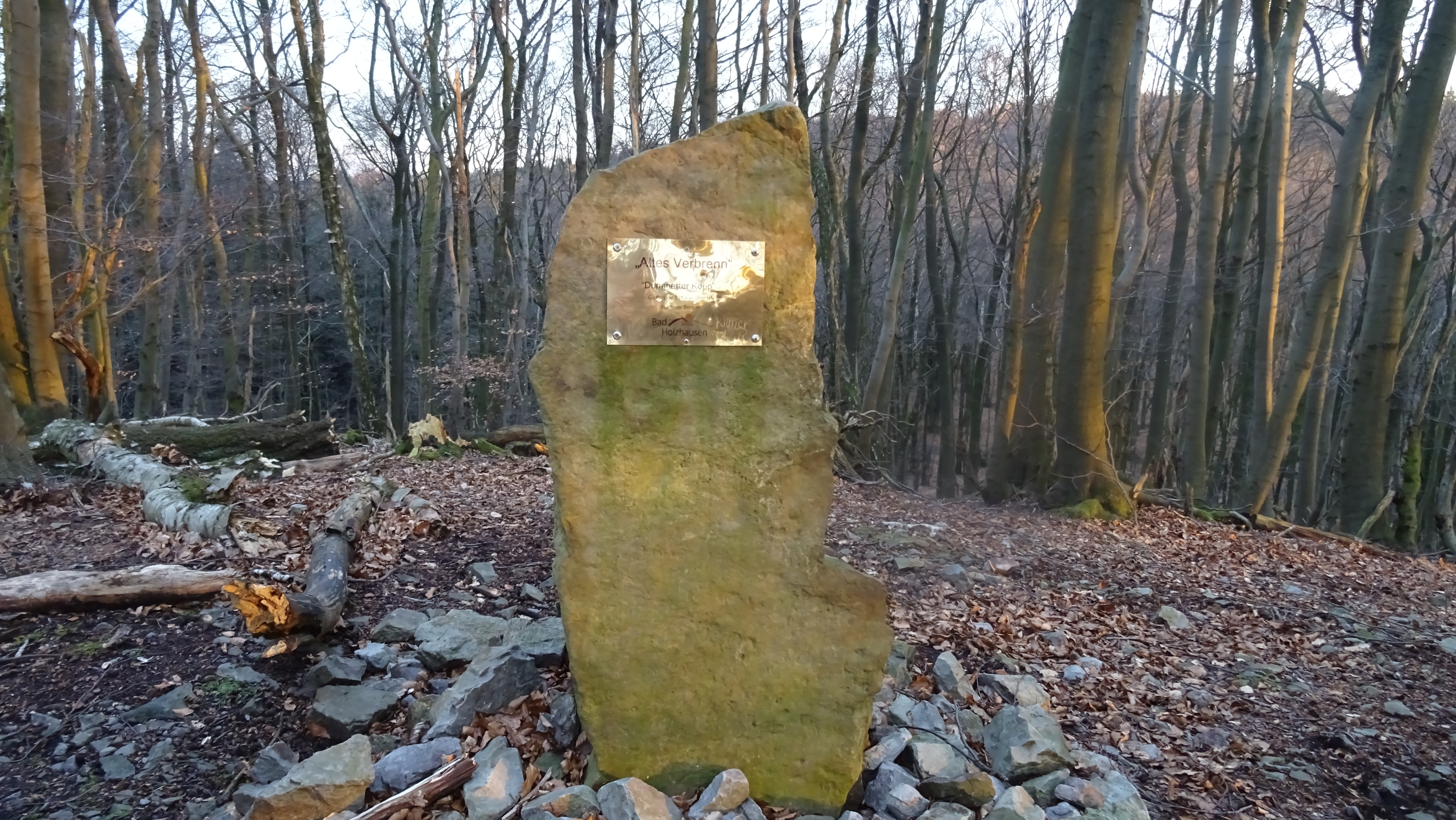
Die Sonne war schon deutlich Richtung Horizont unterwegs und bei erreichen des vierten Bergs, dem „Alten Verbrenn“ nach einer etwa 5,5km langen Wanderung, konnte ich sie rot untergehen sehen. Hin- und her gerissen, ob ich noch Berg Nummer 5 aktivieren sollte, machte ich die nächsten 4 QSO mit dem Clubrufzeichen „DLØQW“. So konnte ich Conteststationen „doppelt“ arbeiten.
Natürlich – wenn ich schonmal hier bin – versuche ich mich zum letzten Ziel, der Babilonie, durchzuschlagen. Und so ging es sogar noch einmal querfeldein, hinunter ins Tal und wieder den Berg hinauf. Weit entfernt, in den Tälern, blitzen schon die Straßenbeleuchtungen durch das geäst der Bäume. Visuelle Orientierung war nicht mehr möglich und so leitete mich mein Smartphone mit der Orux-Map auf die Babilonie. Da ich diesen Berg schnell „abhaken“ wollte enschied ich mich, selbst CQ zu rufen und war überrascht: 5 QSO in 2 Minuten. Schnell wieder abbauen und noch die zwei Kilometer durch den düsteren Wald zum Parkplatz bewältigen.
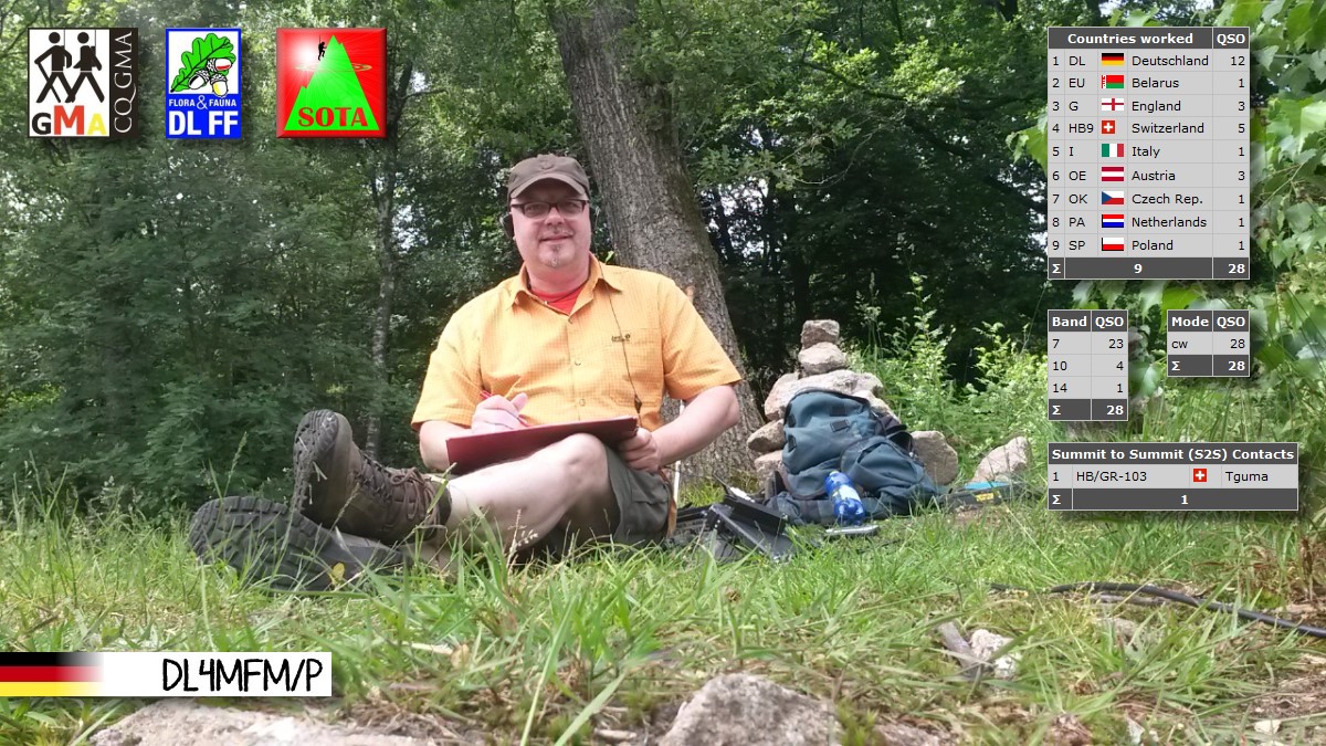
Erfolgreiche Akivierung! 10 GMA Punkte und einige Erfahrungen zur Verbessung gesammelt: der Kabelsalat von einer zur nächsten Aktivierung kostet zu viel Zeit, die Anbringung der Antenne an den Mast muss unbedingt verbessert und neu durchdacht werden.
Die nächste „Speed-Aktivierung“ ist zum UKW-Mai-Kontest geplant. CU, 73 es tnx fer QSO.
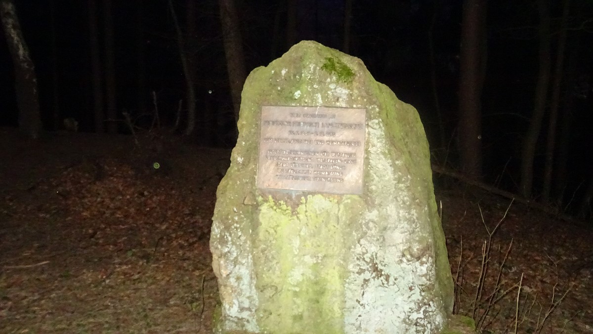


Die Babilonie ist auch eine Burg aus der La Tene Zeit. Allerdings ohne COTA (eine Aufnahme wurde abgelehnt) oder WCA Nummer. Aber die Babilonie (GMA DAC/NW-001) gilt natürlich für das GMA German Castles Award.
Hier ein Link zu Fotos meiner ersten „Altes Verbrenn“ Aktivierung im September 2008.